MODERATE MONSOON RAINS BACK IN BIHAR, GAYA, BHAGALPUR AND ROHTAS TO SEE GOOD RAINS DURING NEXT 24 TO 48 HRS

Source: skymetweather.com

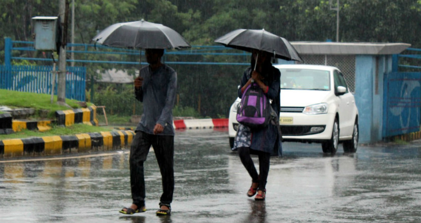
Earlier the Low-Pressure Area was over Northeast Madhya Pradesh and now it has shifted its base to North Madhya Pradesh and adjoining South Uttar Pradesh. Moreover, the Axis of Monsoon Trough is expected to shift North and will extend from Haryana up to Northeast India and cross via Uttar Pradesh. Therefore, rains will now be seen over the state of Bihar.

In the past 24 hours, Gaya, Patna, and Purnea have recorded light to very light rains. In wake of the above-mentioned weather systems, the rainfall activities will now gradually increase over Bihar. The rains will be a sight over Rohtas, Aurangabad, Gaya, Nawada, Jamui, Banka, Nalanda, Munger and Bhagalpur for the next 24 to 48 hours.

While rest places of Bihar are likely to witness isolated light rains during the same period.

Here the experts have to say that post 48 hours, the activities will slow down and only isolated activities will continue. Also, another spell of rain and thundershowers is expected between September 16 to 19. During this time, scattered light to moderate rains with isolated heavy spells is possible during this time.

These intermittent rain and thundershowers will continue over Bihar during the next seven to eight days and looks like the rain deficiency will not get covered up. At present, the state of Bihar is rain deficit by 23%.

Hopefully, these rains will bring back comfortable weather conditions and there will be relief from hot and humid weather conditions too.

HEAVY RAINS IN BAG FOR RANCHI, HAZARIBAGH, JAMUI FOR THE NEXT TWO TO THREE DAYS

Source: skymetweather.com

The weather over the eastern states of Bihar and Jharkhand was running consistently warm and humid with a cloudy sky. Though, scattered places have received light to moderate rains in the last 24 hours.

As on August 10, the state of Bihar is running rain deficit by 7%, while Jharkhand is rain deficient by 36%. Presently, a Cyclonic Circulation lies over northern parts of Bay of Bengal. An upper air Trough is extending from North Bihar to this system across Jharkhand. While, the eastern end of Axis of Monsoon Trough is also running across Central parts of Jharkhand.

This Cyclonic Circulation over North Bay of Bengal will be intensifying into a Low-Pressure Area during the next 24 to 36 hours and will be moving Northwestwards.

Under all these weather conditions, the rainfall over the states of Bihar and Jharkhand will increase during the next two to three days.

Hence, light to moderate rains are likely at many places over these states. Places like Ranchi, Hazaribagh, Jamui, etc may receive heavy showers. Though, Northeast parts of Bihar will experience light rains at scattered places.

There will be relief from the ongoing warm weather in the states as temperatures will be decreasing in the upcoming days as soon as the rains take over. Also, these rains will turn out useful for the ongoing paddy crops.

LIGHTNING IN BIHAR KILLS 43, RAINS TO NOW GET INTENSE IN SOUTHERN DISTRICTS LIKE GAYA AND NAWADA

Source: skymetweather.com

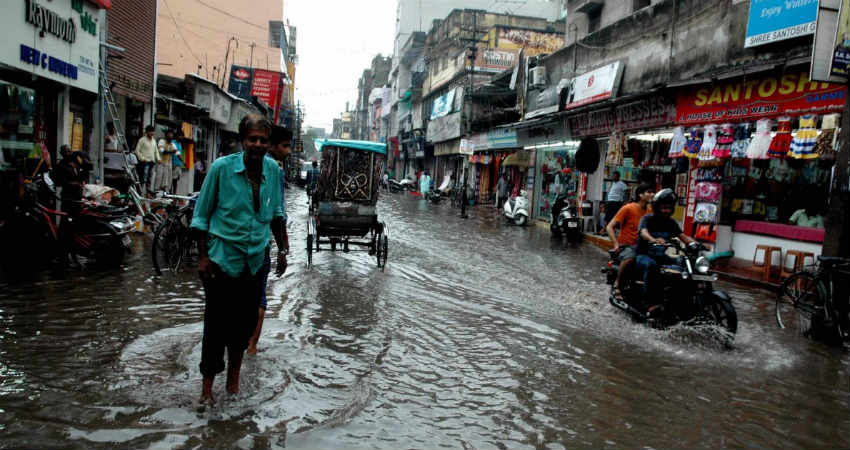
Intense rains have been lashing Bihar for almost the last three days. As reiterated by Skymet, the northern part of the state has been a witness to some real heavy downpour, while the remaining parts have recorded moderate amounts of rain.

If we take a look at the last 24-hour rainfall data available with Skymet from 8.30 am on Wednesday, several places in North Bihar like Supaul, Purnea, Muzaffarpur and Farbesganj have recorded 50.4 mm, 40 mm, 51.7 mm and 27 mm of rain, respectively.

The Monsoon Trough which was closer to the foothills of the state has been the vital weather system in giving heavy rains in the region. This Trough is now going to move down south due to which the intensity of rain will decrease in North Bihar and strengthen in South Bihar. Places like Gaya, Nawada, Munger and Aurangabad may observe some very good rain in the next 24 to 48 hours. However, for the remaining days of the month light to moderate rains will continue to be observed in most parts of the state.

If we look at the rainfall pattern in the month of July so far, some really good rains have helped Bihar in becoming rain surplus. The rainfall deficiency that stood at 41% by the end of June has been wiped out completely and the rainfall amount in the state is surplus today by 4%, which is only going to get better looking at the forecast of some more rain in the remaining days of the month.

Meanwhile, due to the build-up of strong Cumulonimbus clouds, strong lighting strikes have occurred causing 55 deaths in Bihar and neighbouring Jharkhand in the last 48 hours. According to reports, 43 deaths have been reported from Bihar alone.

MORE FLOODING RAINS TO LASH ARARIA, KISHANGANJ, BHAGALPUR, BEGUSARAI, SIWAN AND GAYA

Source: skymetweather.com

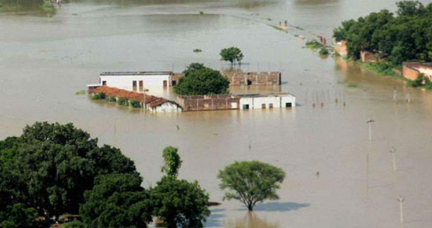
Moderate to heavy rains with one or two very heavy spells of Monsoon rains have been lashing the state of Bihar since the last two to three days. These rains have triggered some intense flooding in many districts of the state. The adjoining parts of Nepal too have been reeling under flooding rains for the last many days now. Also, these have resulted in swelling of many rivers.

Places right from Pashchim Champaran to Sitamarhi, including Araria, Kishanganj, Arwal, Aurangabad, Banka, Begusarai, Bhagalpur, Bhojpur, Buxar, Darbhanga, Gaya, Gopalganj, Jamui, Jehanabad, Kaimur (Bhabua), Katihar, Khagaria, and Siwan are experiencing flooding rains at present. Moreover, no relief is expected from such conditions for at least next two to three days. In fact, flooding may worsen in some areas due to continuous heavy downpour.

For the next 48 hours, we expect moderate to heavy with a few very heavy spells of rain and thundershower activities in many parts of Bihar. Thereafter, rains will slightly taper over the region. This is because, the present Trough will start shifting south, thus initiating good rains over the southern districts of Bihar. By this time, rains will reduce in other districts of the state, thus leading to a marginal relief from the flood-like situation.

Skymet has been continuously tracking the weather activities going on over and across the state and thus has been giving weather alerts on a constant basis in order to help the residents, escape this danger. And as more heavy rains are expected to lash the state, localitesare advised to take due precautions.

HEAVY MONSOON RAINS TO LASH PARTS OF PATNA, GAYA, PURNIA AND BEGUSARAI IN THE NEXT 24 HOURS

Source: skymetweather.com

Though the Monsoon has arrived long back over Bihar and Jharkhand, due to the absence of any significant weather systems, Monsoon remained deficit over these states. Only scattered rains were observed over a few places.

At present, a Cyclonic Circulation is lying over southeast Uttar Pradesh and adjoining Madhya Pradesh. Also, a trough is extending from Northwest India to Northwest Bay of Bengal across Uttar Pradesh and Jharkhand.

These two systems will act as a catalyst and enhance the rainfall activities over Bihar and Jharkhand. We expect moderate rains over most of the places with few heavy spells during the next 24 hours. As a Trough is likely to shift further North, rainfall activity would cover most parts of Bihar and then the heavy rains might intensify. As per our experts, these heavy rains would continue over Bihar till July 11. Jharkhand too would receive moderate to heavy rains during the next three to four days. Thereafter, rainfall will decrease over the southern part but light to moderate rains will continue. Places like Supaul, Purnia, Araria, Patna, Gaya, Katihar, Aurangabad, Rohtas, Bhojpur, Begusarai, Munger, Nalanda, Buxar, etc are likely to be impacted by heavy to very heavy Monsoon rains in the next 24 hours.

This will be the first long spell after the initiation of Monsoon and the rains are likely to pay visit most parts of the states. Till date, for the Monsoon season, Bihar is rain deficit by 49% while Jharkhand is deficit by 44%. There are chances that with these hefty rains, deficiency levels might get recovered with a good percentage.

Exit heatwave, get ready for rains

Source: telegraphindia.com

Jharkhand is likely to experience showers from Thursday with the monsoon expected to make its grand entry in the state sometime over the weekend, the weather office has indicated.

Ranchi Meteorological Centre officials said conditions for the advancement of the southwest monsoon had become favourable ever since the severe cyclonic storm Vayu had waned. This meant that over the next three to four days the monsoon would move into parts of Andhra Pradesh and remaining parts of Tamil Nadu, some more areas of Bay of Bengal, sub-Himalayan West Bengal, Sikkim and Odisha.

“We expect monsoon to arrive in Jharkhand around June 22. If that happens monsoon would have a delayed its arrival this time in Jharkhand by 12 days,” explained S.D. Kotal, director of Ranchi Meteorological Centre, adding that as on Tuesday, the northern limit of monsoon (NLM) was passing through Mysore, Salem, Cuddalore, Alipurduar and Gangtok.

Kotal said the monsoon was expected to enter Jharkhand from somewhere between Sahebganj and Pakur and move towards central, southern and later north western parts of the state.

He also indicated that premonsoon showers would start over Jharkhand in the next 48 hours (June 20 onwards).

“Light rain and thunderstorms are likely at isolated places in the districts of western and southern Jharkhand in the next two days. After that both cloud and rainfall coverage area was expected to increase,” he explained.

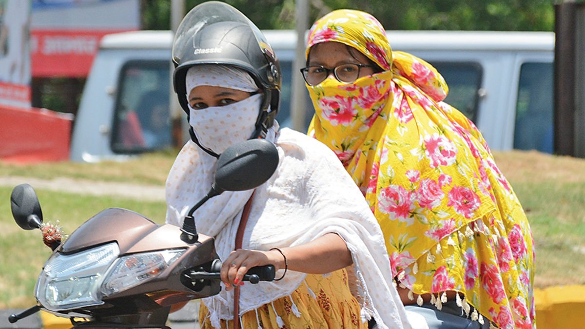
The Ranchi Met office withdrew its heatwave alert on Tuesday, bringing to an end a weeklong spell of extreme discomfort that forced residents to stay indoors in the afternoons and prompted schools to extend summer vacations for primary students.

Weathermen said a trough at mean sea level was running from northeast Uttar Pradesh to north Bay of Bengal across Bihar, Jharkhand and Gangetic Bengal. A low pressure area was also likely to develop over north Bay of Bengal during the next three to four days.

On Tuesday, Capital Ranchi and its surrounding areas recorded a maximum temperature of around 37°C against Monday’s 37.3°C.

Palamau headquarters Daltonganj recorded around 40°C, three notches above normal. On Monday, Daltonganj had logged 41.4 °C. Jamshedpur, Chaibasa in West Singhbhum, Seraikela and several other places in the Kolhan region of southern Jharkhand recorded highs between 41° and 42°C, four notches above normal.

Met statistics revealed that several isolated places across Jharkhand, including Daltonganj and Garhwa, witnessed rain and thunder during the past 24 hours. Heatwave conditions also prevailed in isolated places in central and southern Jharkhand.